New FAA Drone App Shows No-Fly Zones
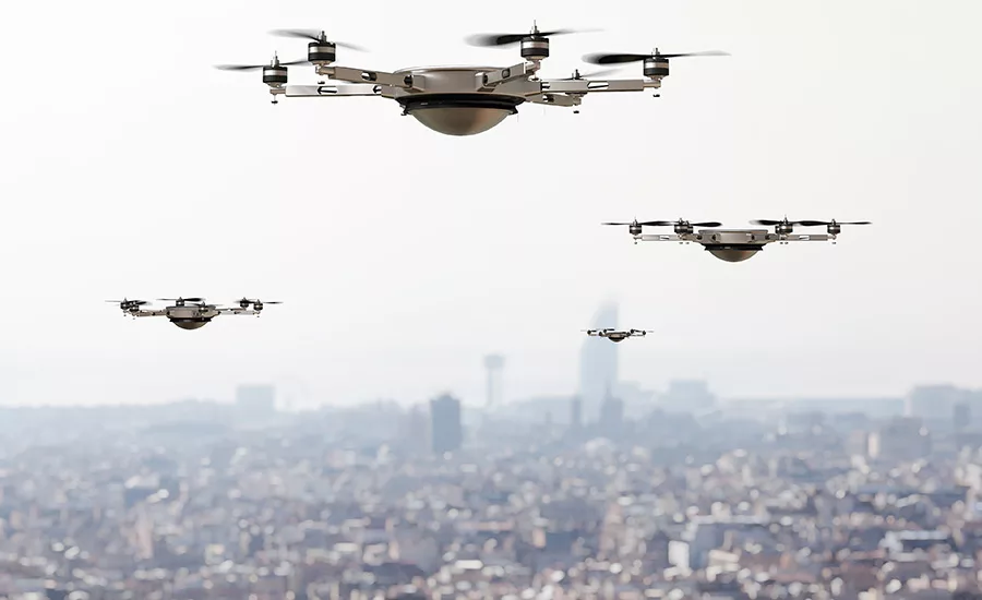
The FAA in partnership with Kittyhawk relaunched its B4UFLY mobile application that allows recreational drone flyers know where they can and cannot fly in the national airspace system.
The new B4UFLY app is available to download for free at the App Store for iOS and Google Play store for Android.
“As we continue our efforts to safely integrate drones into the NAS, working with our industry partners to provide innovative technology is critical,” said FAA Acting Administrator Dan Elwell. “The B4UFLY app is another tool the FAA can provide recreational drone flyers to help them fly safely and responsibly.”
Some of the key features users can expect include:
- A clear "status" indicator that informs the operator whether it is safe to fly or not. (For example, it shows flying in the Special Flight Rules Area around Washington, D.C. is prohibited.)
- Informative, interactive maps with filtering options.
- Information about controlled airspace, special use airspace, critical infrastructure, airports, national parks, military training routes and temporary flight restrictions.
- A link to LAANC, the FAA’s Low Altitude Authorization and Notification Capability, to obtain authorization to fly in controlled airspace.
- The ability to check whether it is safe to fly in different locations by searching for a location or moving the location pin.
- Links to other FAA drone resources and regulatory information.
The app provides situational awareness to recreational flyers and other drone users. It does not allow users to obtain airspace authorizations to fly in controlled airspace, which are only available through LAANC.
Looking for a reprint of this article?
From high-res PDFs to custom plaques, order your copy today!

